Your browser is not supported for this experience.
We recommend using Chrome, Firefox, Edge, or Safari.
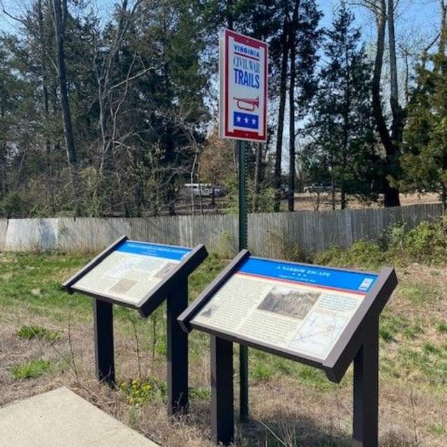
Civil War History Trail
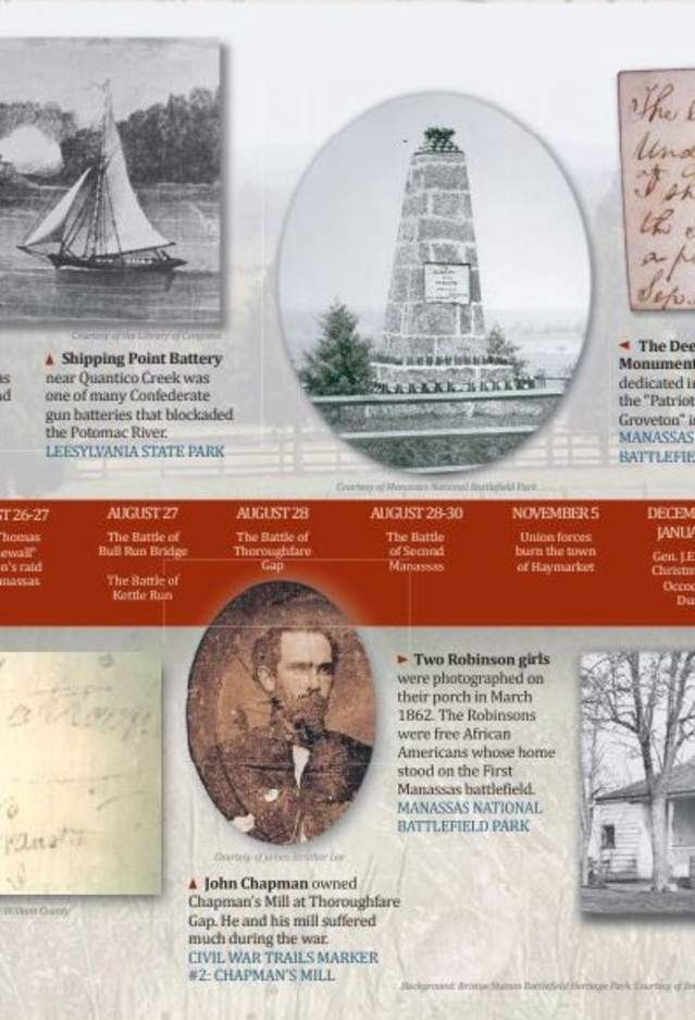
During the American Civil War, Prince William County was situated halfway between the Union Capital Washington, DC and the Confederate Capital Richmond, VA. Because of its location, the county was the site of three major engagements of the war.
Virginia Civil War Trails Sites & Marker Locations
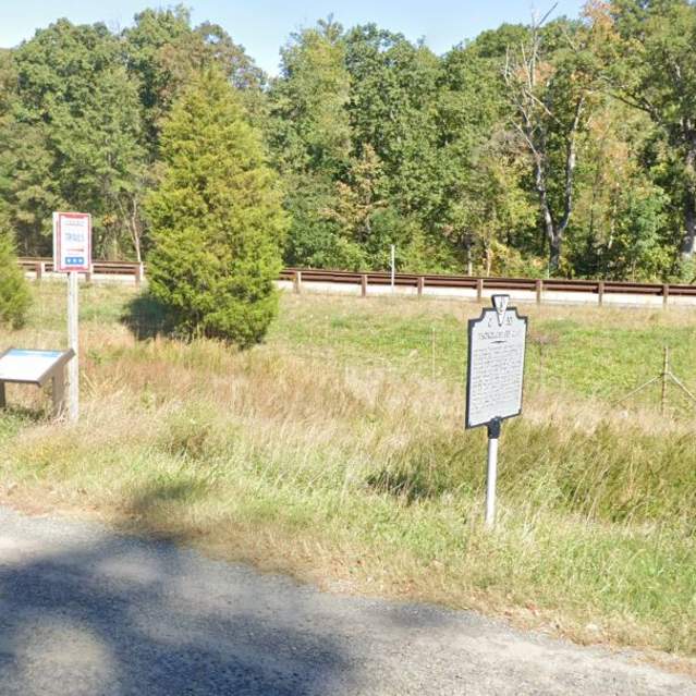
Thoroughfare Gap
- Thoroughfare Gap
In July 1861, Confederate troops marched through the Gap on their way to Manassas. Confederate General Thomas “Stonewall” Jackson crossed the Gap en route to Bristoe and Manassas in August 1862. The August 28, 1862 Battle of Thoroughfare Gap was fought around Chapman’s mill. Marker located on Rt. 55…
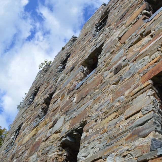
Chapman's Mill/Beverley Mill
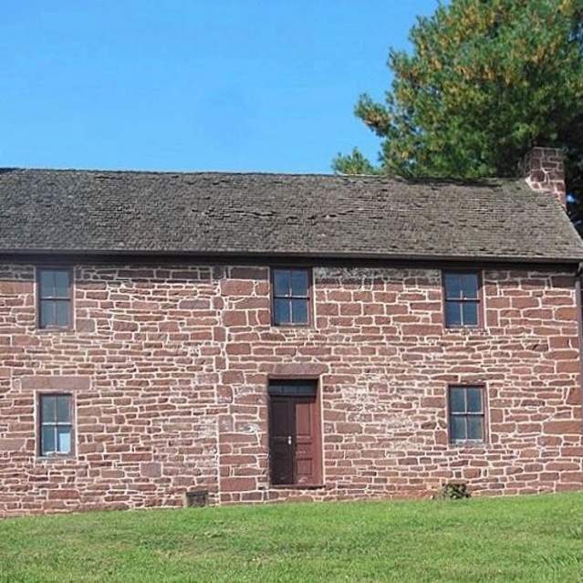
This mill was a Confederate supply center during 1861-1862. Confederates burned the mill and the supplies stored there on March 9, 1862. Known locally as Beverly’s Mill, this structure was built in 1742. Marker at end of Beverly Mill Road, Broad Run 38 49’ 28” N * 77 42’ 24” W
Ewell’s Chapel
- intersection of Largo Vista Drive and Loudoun Drive
Col. John S. Mosby and his partisan rangers escaped a Union trap set here on June 22, 1863. Confederate Gen. Richard Ewell was wounded on August 28, 1862, at the Battle of Groveton before the Battle of Second Manassas. Ewell was brought to a nearby home to convalesce after his leg was amputated…
Hopewell Gap
- 16513 Waterfall Road
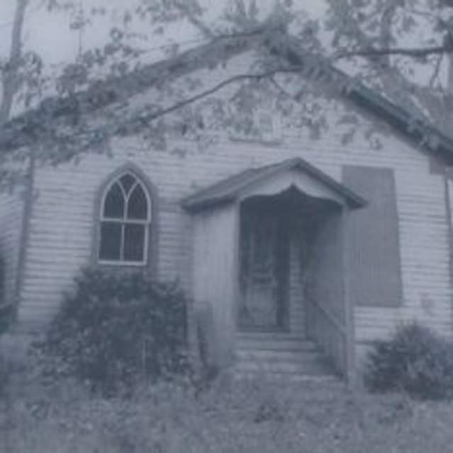
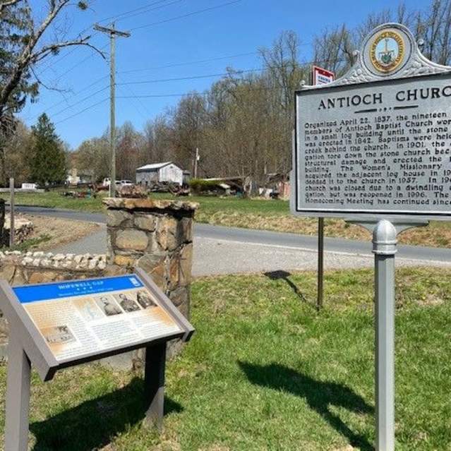
Armies used this strategic pass often during the war. Federal cavalrymen escaped through the Gap on June 18, 1863, after being defeated at Middleburg. Confederate partisan Col. John Mosby maintained a prisoner of war camp nearby. Marker located at Antioch Church 38 51’ 28” N * 77 41’ 4” W
Buckland
- 6275 Vint Hill Road
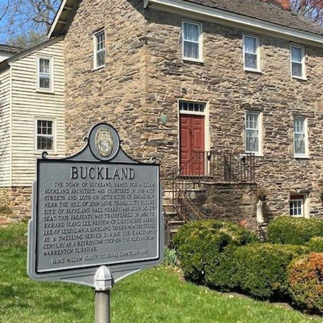
The Battle of Buckland Mills was fought here on October 19, 1863. Gen. J.E.B. Stuart’s Confederate calvary routed Gen. Judson Kilpatrick’s Union calvary in what became known as the “Buckland Races.” Marker located at Monterey Church, 6275 Vint Hill Road, Warrenton, VA 38 46’ 36” N * 77 40’ 53” W
Haymarket
- 15025 Washington Street
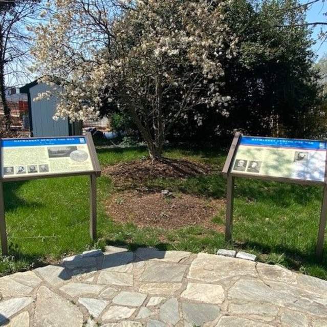
This town was in the path of marching armies throughout the war. After Confederate bushwhackers fired at Union forces nearby in 1862, a Union general had the town burned, leaving few intact structures. On June 25, 1863 the Union II Corps fought Gen J.E.B. Stuart’s Confederate calvary here, breaking…
Manassas National Battlefield Park
- 6511 Sudley Road
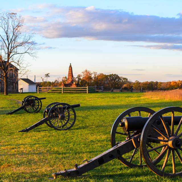
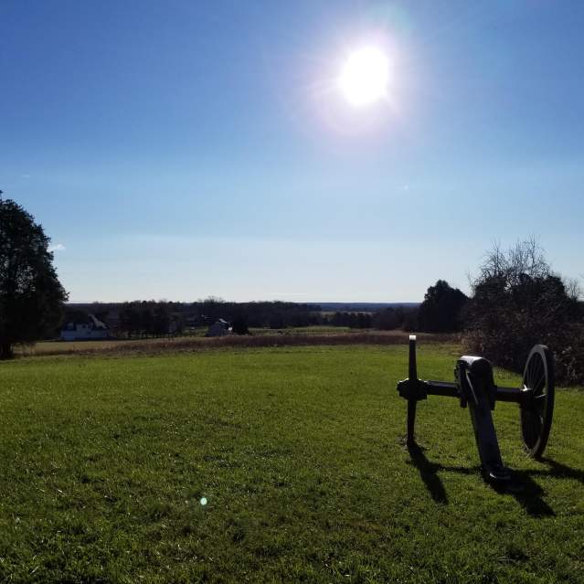
The park preserves key sites associated with First Manassas (Bull Run), the first major battle of the war (July 21, 1861), and the much bloodier Second Battle of Manassas (August 28-30, 1862). Both were Confederate victories. Manassas National Battlefield Park 38 48’ 46” N * 77 31’ 15” W
Greenwich
- 15305 Vint Hill Road
Gen. Richard Ewell grew up nearby. During the war, Union and Confederate forces frequented the village. Although several engagements occurred nearby, Greenwich escaped unscathed, in part because of the creative actions of resident Charles Green, an Englishman. Green flew the British flag over his…
Ben Lomond Historic Site
- 10321 Sudley Manor Drive
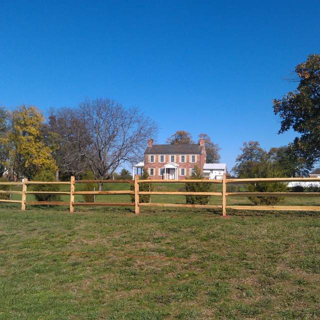
This home built in 1832, suffered because of its proximity to the Manassas Battlefields. It was used as a Confederate hospital after First Manassas and was later occupied by Union soldiers whose graffiti is preserved. Ben Lomond Historic Site 38 47’ 21” N * 77 30’ 22” W
Blackburn’s Ford
- Blackburn’s Ford
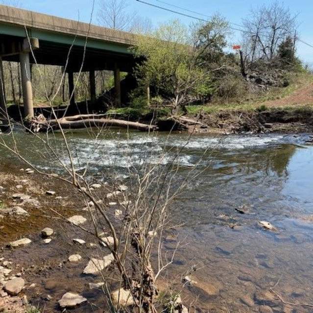
On July 18, 1861, Confederates waiting at this ford along Bull Run repulsed a Union “reconnaissance-in-force” from Centreville. This prelude to First Manassas was the first taste of battle for most of the soldiers involved. Markers located off Rt. 28 near Bull Run 38 48’ 12” N * 77 26’ 57” W
Mitchell’s Ford
- 7610 Old Centreville Road
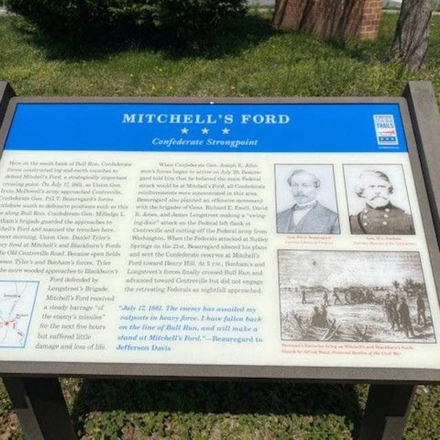
In July 1861, this was the center of the Confederate defense line along Bull Run. Troops who were posted here took part in the Battle of Blackburn’s Ford on July 18, 1861. Marker located at Yorkshire Elementary School at the corner of Yorkshire Lane and Old Centreville Road, Manassas 38 47’ 35” N *…
McLean Farm
- Centreville Road
The Wilmer McLean house Yorkshire stood nearby. Confederate Gen. P.G.T. Beauregard was headquartered here on July 18, 1861, when the Battle of Blackburn’s Ford erupted. McLean moved his family to Appomattox. Gen. Robert E. Lee surrendered there at McLean’s home on April 9, 1865. Marker located at the…
Camp Carondelet
- Cougar Court
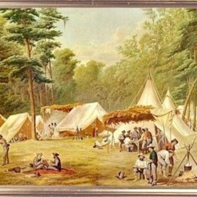
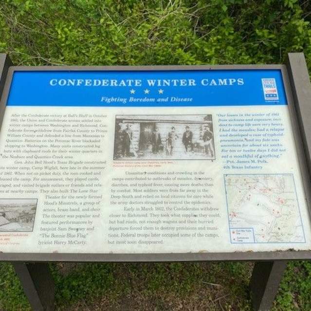
This wooded park is the site of one of numerous Confederate winter camps established in late 1861. Here Louisiana troops enlivened their stay by holding a “Grand Military Ball” on February 25, 1862. Sign located at end of Cougar Court, Manassas Park 38 45’ 44” N * 77 25’ 19” W
Battle of Bull Run Bridge and Conner House
- 8220 Conner Drive
Two markers describe the events of August 27, 1862. New Jersey troops sent from Washington met and were defeated by Gen. “Stonewall” Jackson’s forces east of Manassas Junction. The Conner House was Confederate Gen. Joseph Johnston’s headquarters after First Manassas and a Union hospital known as the…
Signal Hill
- Signal Hill Drive
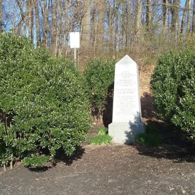
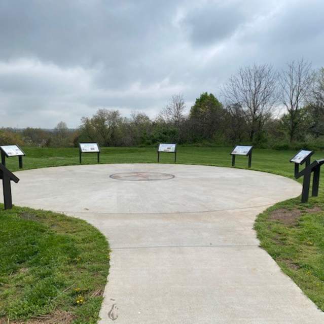
A monument marks the site of a Confederate Signal Station. From here on July 21, 1861, Confederate Signal officer Edward Porter Alexander signaled by flag relay to Nathan “Shanks” Evans who was positioned near the Stone Bridge to warn him of approaching Union forces. This is believed to be the first…
City of Manassas Museum System
- 9101 Prince William Street
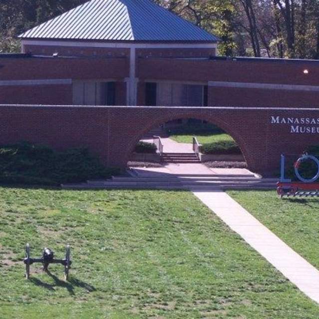
Civil War Trails Sites within the City of Manassas • Manassas Museum • Prelude to First Manassas • “Fortifications of Immense Strength” • “On to Richmond” • Site of Manassas Junction • Jackson’s Daring Raid • World’s First Military Railroad • Curious Descend on Manassas for Curios • “The Sickness is…
Peace Jubilee
- Old Manassas Courthouse
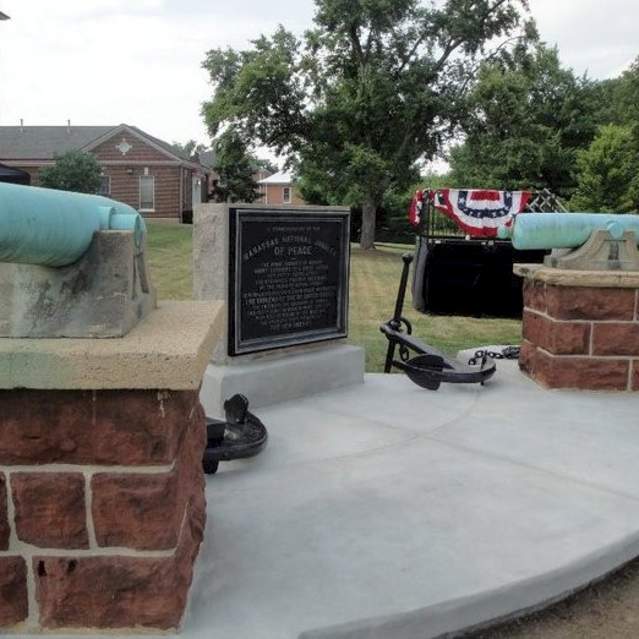
In July 1911, Manassas hosted an amazing event; the Manassas National Jubilee of Peace, which brought together Union and Confederate veterans 50 years after the first major battle of the Civil War. Veterans of both sides came together for the first time on the same ground in a ceremony of peace and…
Bristoe Station Battlefield Heritage Park
- 10708 Bristow Road
Gen. “Stonewall” Jackson’s forces severed the Union supply at Bristoe on August 26, 1862. The next day, Gen Ewell’s division guarded this position while Jackson plundered Manassas Junction. Battle erupted here on October 14, 1863, when the Union II Corps repulsed Gen. A.P. Hill’s Confederate corps…
Kettle Run
- Nokesville Road
As Gen. “Stonewall” Jackson’s troops looted Manassas Junction on August 27, 1862, Gen. Joseph Hooker’s Federal division advanced on Jackson’s rear guard under Gen. Richard Ewell at Kettle Run. Ewell’s Confederates managed to delay the Federals before withdrawing to the junction and joining Jackson’s…
Brentsville Courthouse Historic Centre
- 12229 Bristow Road
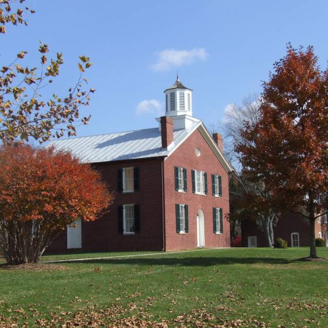
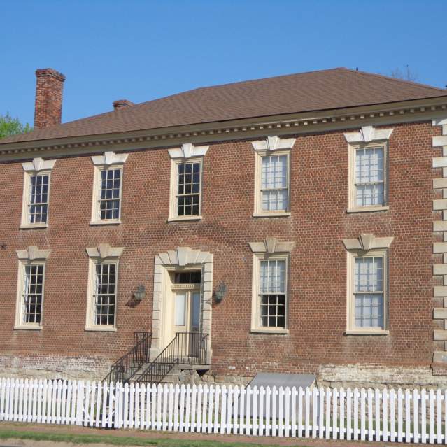
Brentsville was the seat of Prince William County from 1822 to 1893. Several Confederate units were formed on the Courthouse grounds. Passing armies devastated the town during the war. Several original buildings remain at Brentsville Courthouse Historic Centre. 38 41’ 22” N * 77 29’ 58” W
Bacon Race Church
- 5213 Davis Ford Road
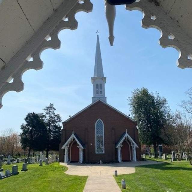
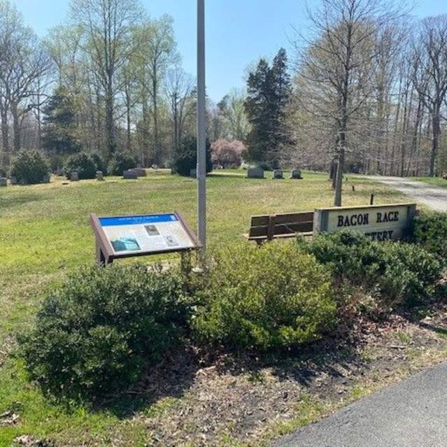
This cemetery includes several Civil War burials. It has all that remains of the 1770’s Oak Grove/ Bacon Race Baptist Church. In the winter of 1861-1862, this was a supply depot for Confederate troops encamped in eastern Prince William County who guarded the Occoquan River at nearby Wolf Run Shoals…
Occoquan
- 413 Mill Street
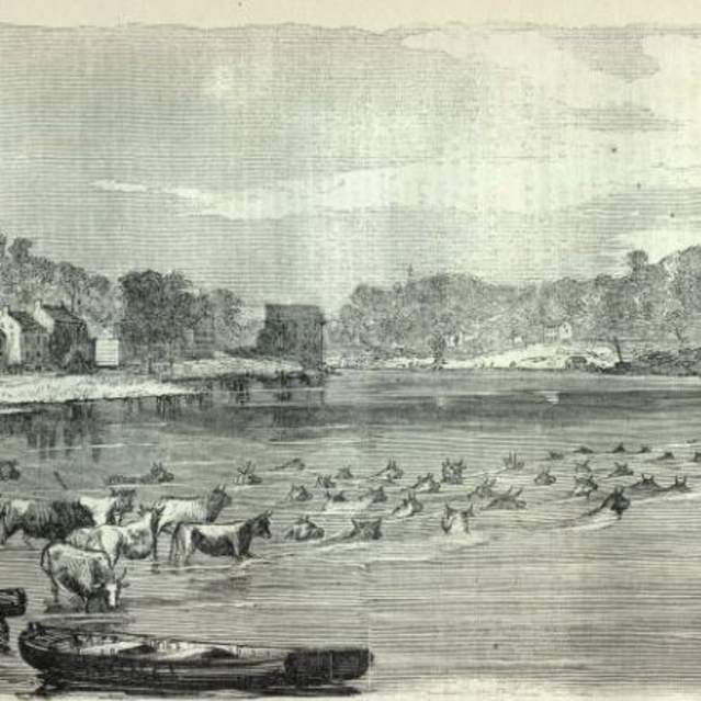
As an important river crossing between Alexandria and Fredericksburg, this settlement was busy and sometimes dangerous during the war. Confederate calvary raided Occoquan in December 1862. Union Gen. Joseph Hooker’s Army constructed a 300-foot-long pontoon bridge here as he followed Confederate Gen…
Neabsco Creek Fortifications
- 16066 Neabsco Road
This area along Neabsco Creek was the center of waterfront Confederate winter encampments and fortifications in 1861-1862. Troops posted here supported several artillery batteries that successfully blockaded the Potomac River. Marker located at Julie Metz Wetlands trailhead parking area on Neabsco…
Freestone Point
- 2001 Daniel K. Ludwig Drive
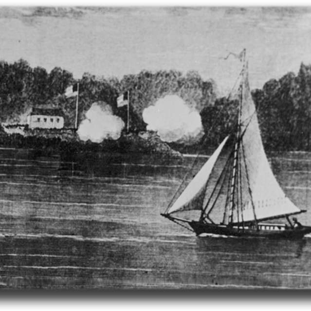
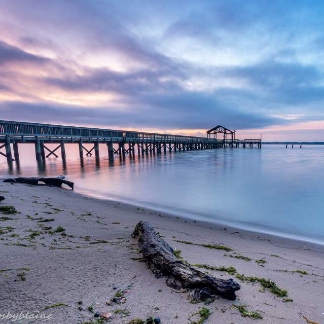
The remains of a Confederate artillery battery are located in the Potomac River park. The battery was in action on September 25, 1861 when it exchanged shots with Union vessels in the river. A walking trail interprets the battery and Civil war history. Marker located in Leesylvania State Park 38 35’…
Dumfries
- 17674 Main Street
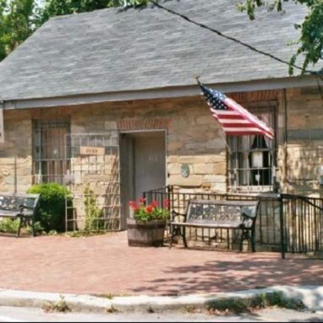
Confederate forces evacuated their camps here in March 1862 and the town remained in Union hands for the rest of the war. A raid on December 27, 1862 by Confederate Gen. J.E.B. Stuart resulted in the destruction of many buildings. Williams Ordinary (is circa 1790) served as Confederate headquarters…
Cockpit Point Civil War Park
- Cockpit Point Road
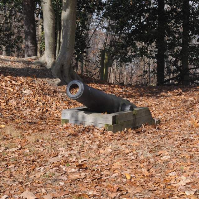
Cockpit Point and Possum Nose were major Confederate batteries along the Potomac River during the winter of 1861-1862. From these and other waterfront batteries, Confederates successfully blockaded the Potomac River. The Confederate batteries here are preserved. 38 33’ 38” N * 77 15’ 49” W (Image…
Mayfield Civil War Fort
- 8401 Quarry Road
Site of the last remaining Confederate earthwork fortification built in 1861 to guard the eastern approaches to Manassas Junction along the railroad.
Mill House Museum
- 413 Mill Street
Occoquan’s colonial and Civil War history is presented through exhibits, presentations and artifacts.
Leesylvania State Park
- 2001 Daniel K. Ludwig Drive
Park Visitor and Environmental Education centers have exhibitions about the area’s Civil War history.
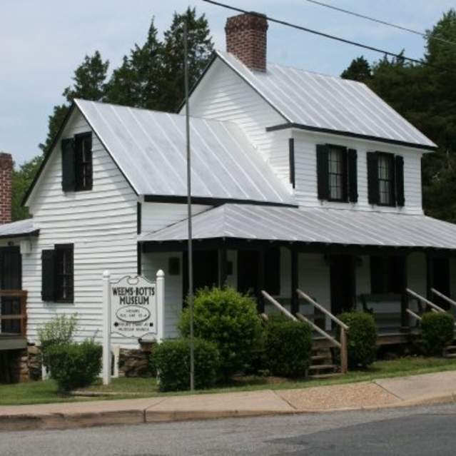
Weems Botts Museum
- 3944 Cameron Street
Tours span the history of Dumfries and Prince William County during the 18th-20th centuries.
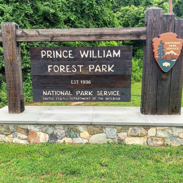
Prince William Forest Park
- 18170 Park Entrance Road
Interprets antebellum and Civil War farm homesteads and graveyards. A Civil war exhibit is located in the Visitor Center.
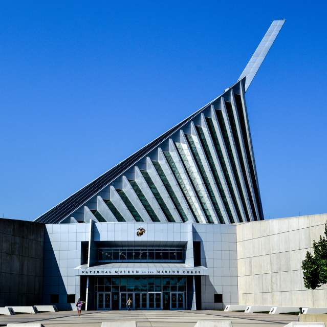
National Museum of the Marine Corps
- 1775 Semper Fidelis Way
Learn how the Marine Corps has evolved over the past 200 years in this interactive museum.
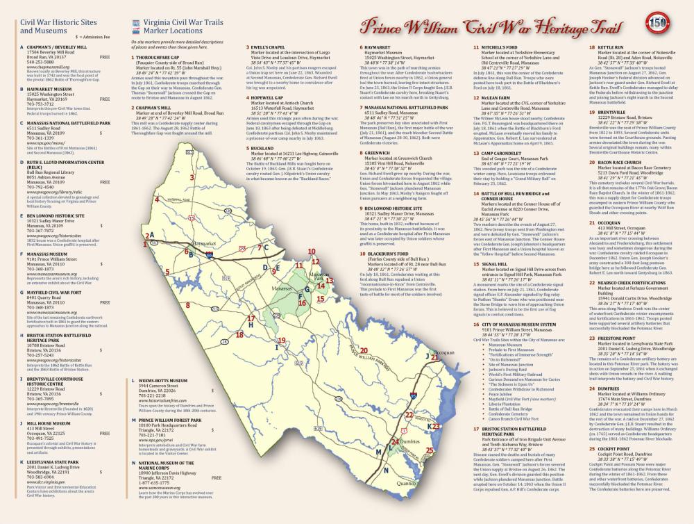
Virginia Civil War History Trail Map
Click Here to Download Civil War History Trail Map

